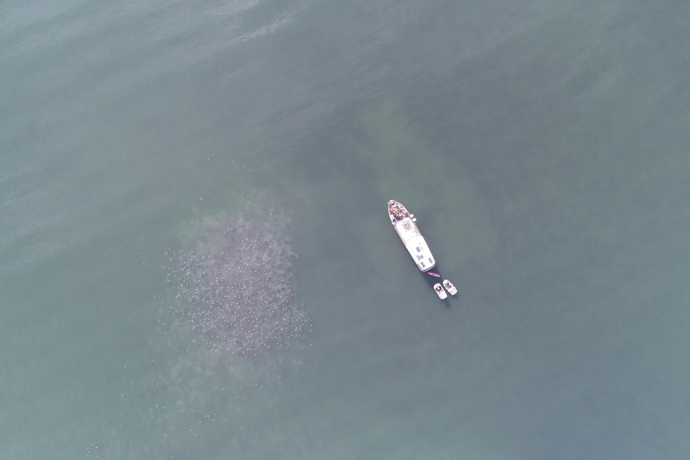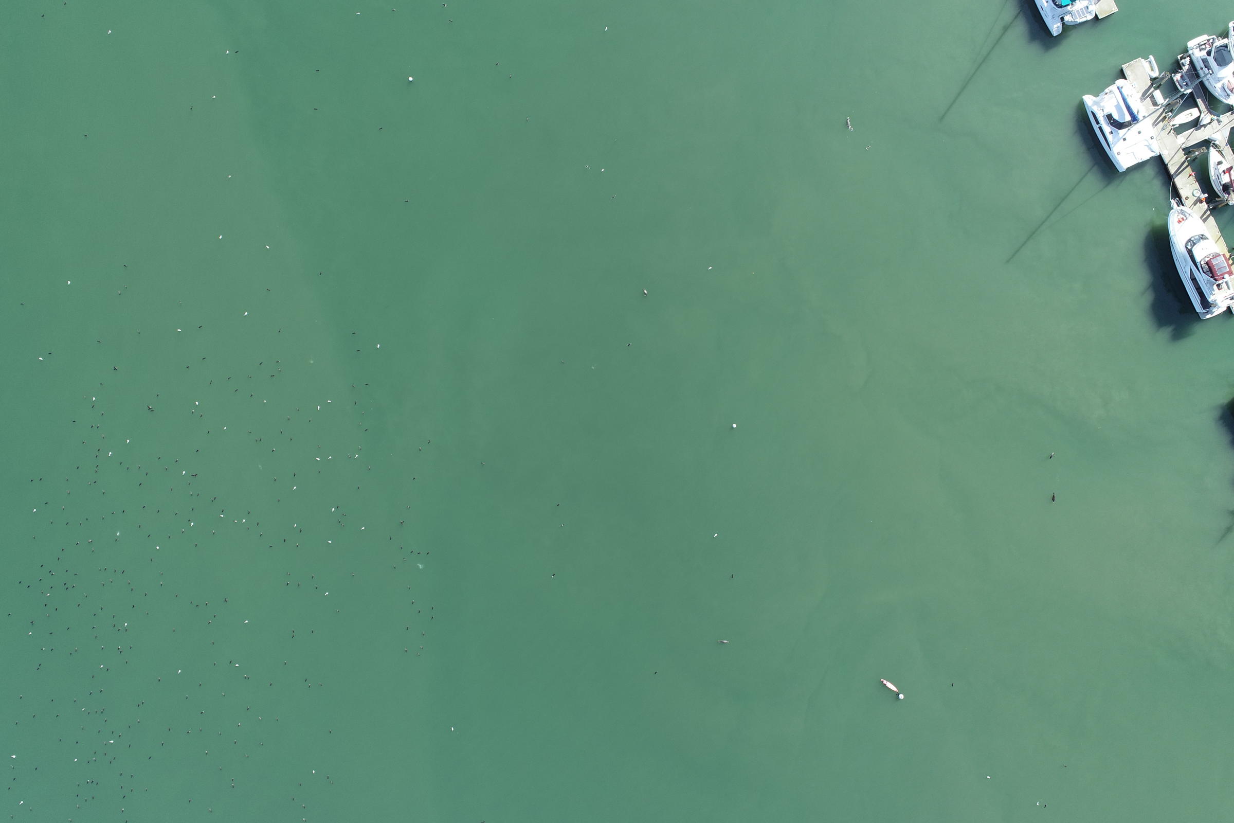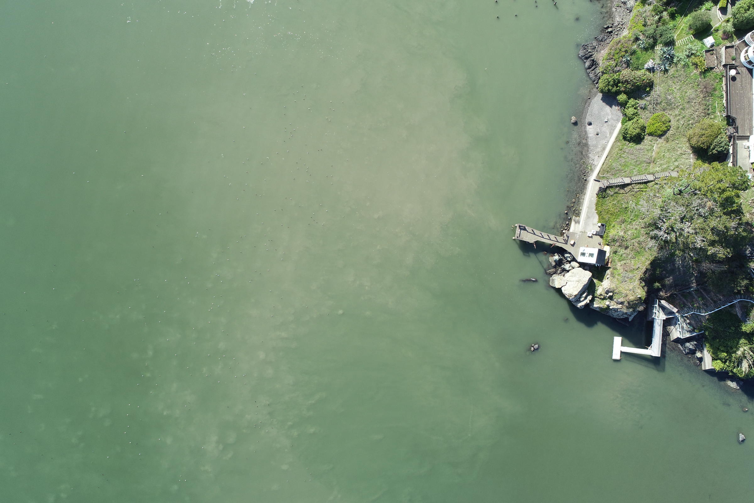
As part of a grant funded by the National Fish and Wildlife Foundation, the Richardson Bay Audubon Center & Sanctuary has recently completed six drone surveys of Richardson Bay. This time sensitive study was performed during the winter migration season where Richardson Bay hosts thousands of migratory waterbirds, such as Buffleheads, Ruddy Ducks, and Scaup, as well as grebes, cormorants, and gulls. The primary objective of these surveys was to map the locations in the bay where the migratory waterbirds group together to rest and feed and see if those locations overlap with the eelgrass beds present in the bay. (Fun fact: A group of waterbirds is called a raft!)
Surveys were conducted with a team of two Audubon staff, one of whom is a FAA licensed drone pilot, approximately 6 hours to complete. The drone covered just under 2,000 acres of water between the waters just outside of the Center and edges of Belvedere and Sausalito. As the drone flew its preprogramed course, it automatically captured pictures at a regular interval to include a 20% overlap to ensure that no area was missed.
Each survey produced just over 700 images and back in the office the Biological Technician, analyzed the photos to determine if the images contained either a part or whole raft of birds and recorded an estimate number of birds in the image. These images containing rafts were then plugged into a program which extracted GPS data from where the image was taken and plotted a corresponding point onto a map. These coordinates, along with approximate bird counts were used to create heat maps which indicate the locations in the bay which the birds frequent in the greatest numbers.
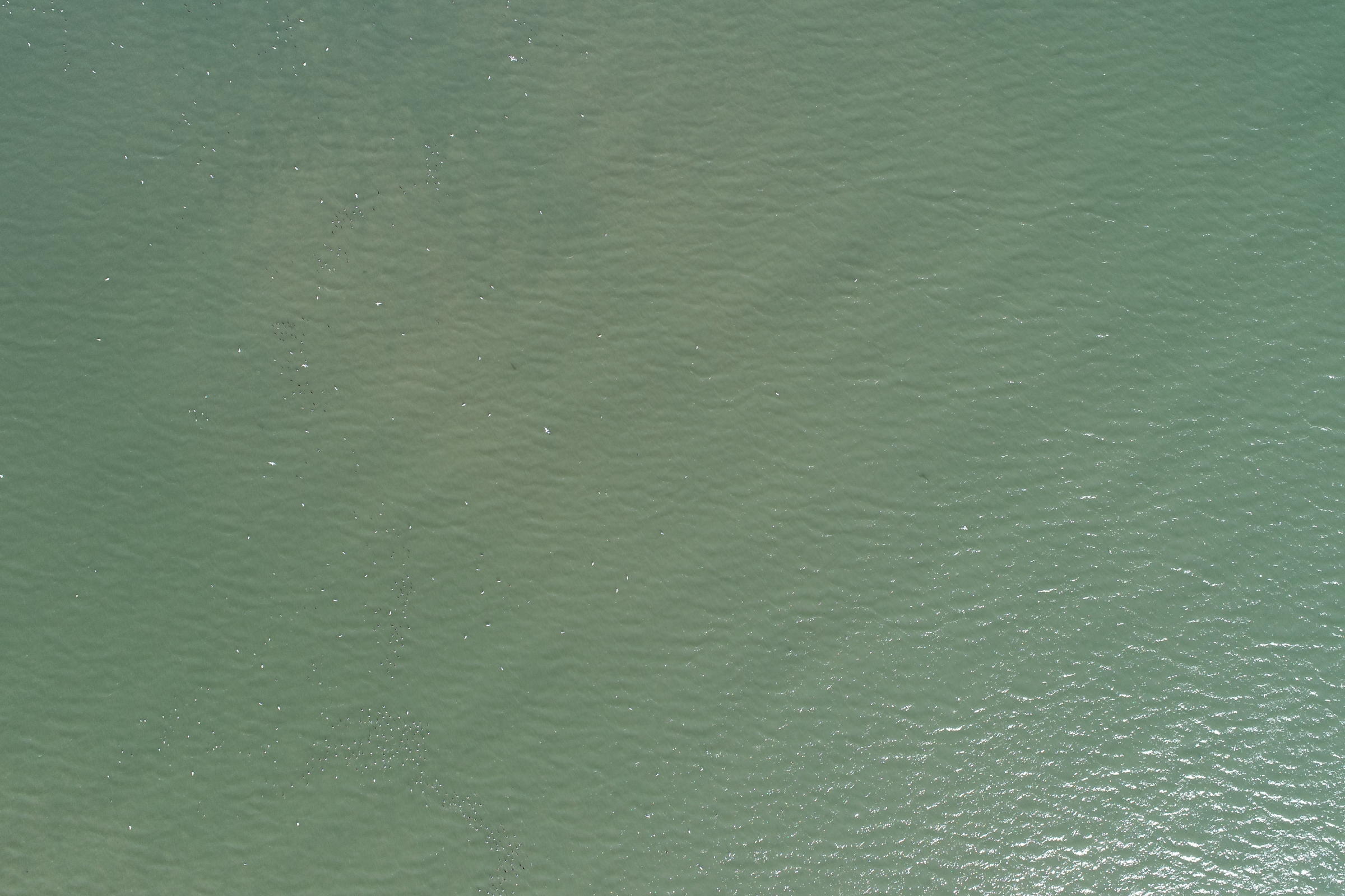
Enjoy some of the most impressive images captured during the flights!